


The ideal location for
Sports in Salzburg
The central location and the perfect connection to the motorway, Eugendorf is an ideal starting point for sporting activities …
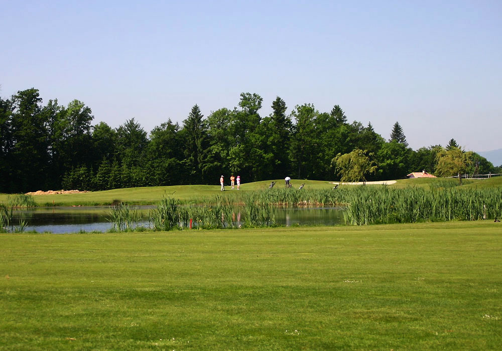
Golfing in Eugendorf
Nestled in slightly hilly terrain offer the golf courses in Eugendorf breathtaking fairways, next to a superb panoramic. Both golfers as well as golf professionals find in Eugendorf that desires the heart Golf! With the Mozart Golf Card you pay cash to the Mozart golf courses and receive discounted green fees, golf ancillary services such as range balls, golf cars and discounts when shopping in GolfStore.
| Golf club | Distance from hotel | Website |
|---|---|---|
| Championship Course Eugendorf | 1,4 km / 2 min | www.golfclub-salzburg.at |
| Römergolf im Salzburger Land | 3 km / 5 min | www.roemergolf.at |
| Golfclub | Distance from hotel | Website |
|---|---|---|
| Golfclub Gut Altentann | 5 km / 5 min | www.gutaltentann.com |
| Golfclub Schloß Fuschl | 15 km / 15 min | www.golfclub-salzburg.at |
| Golfclub am Mondsee | 19,6 km / 23 min | www.golfclubmondsee.at |
| Golfclub Drachenwand | 23,5 km / 29 min | www.gcdrachenwand.com |
| Salzkammergut Golfclub | 58 km / 40 min | www.salzkammergut-golf.at |
| Golfclub Rif | 29 km / 17 min | www.golfclub-salzburg.at |
| Golf & Country Club Klessheim | 12 km / 20 min | www.golfclub-klessheim.com |
| Golfclub Berchtesgaden e.V. | 42,7 km / 26 min | www.golfclub-berchtesgaden.de |
| Golfclub Berchtesgadener Land | 21 km / 25 min | www.gcbgl.de |
| Golfclub Ruhpolding e.V. | 57,4 km / 31 min | www.golfclub-ruhpolding.de |
| Golfclub Innviertel | 35 km / 41 min | www.gc-innviertel.at |
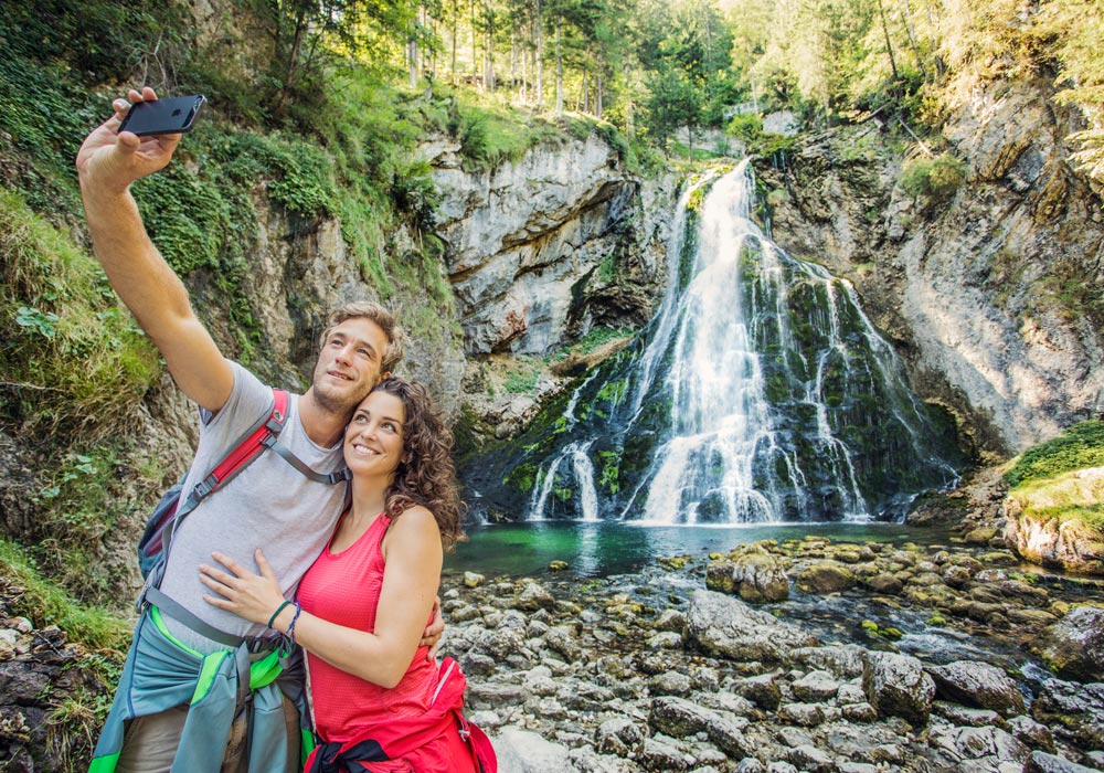
Hiking in Salzburg
In and around Eugendorf unique hiking areas are waiting to be discovered by you. Enjoy the magnificent scenery of the Salzburg region and the Salzkammergut. The mountains and lakes are waiting for you …
| Postalm | second largest plateau in Europe, great hiking trails at 1,400 meters above sea level, unique viewpoints, typical pastures economies |
| Falkenstein | Traditional pilgrimage from St. Gilgen to St. Wolfgang, the return trip is done by boat |
| Hiking at the Gaisbergrundweg | At the Hausberg Salzburg in 1000m above sea level short hike with a stop at the Zistlalm |
| Zwölferhorn cable railway | Directly in St. Gilgen, a fantastic view of Lake Wolfgang, numerous cultivated pastures on foot into the valley to St. Gilgen |
| Katrinbahn | Herrlicher Blick Richtung Bad Ischl und Dachstein, zu Fuß ins Tal nach Bad Ischl |
| Lake Schwarzensee | Lake near Strobl / St. Wolfgang, entertaining walk around the lake, Almrestaurant, ability to walk on the Attersee (largest Salzkammergutsee) to St. Wolfgang |
| Lake Offensee, Langbathseen | Small Salzkammergut lakes with loop trails, bathing facilities, restaurants, hike along the Brunnkogel |
| Gmunden | Take the cable car to the Grünberg, unique view of the foothills of the Alps and the city Gmunden Seeschloss Orth, short hike to Laudachsee |
| Reservoir Stauseen Kaprun | Situated above the tree line, amid the Hohe Tauern, a technical masterpiece of the postwar period |
| Untersbergbahn | Views of Salzburg and Bavaria, wonderful hikes in 1900 m above sea level |
| Salzbergwerk | Summer toboggan Dürrnberg, a world of experience in mountain with boat ride and slides, historical background Salzburg |
| Liechtensteinklamm | 1.2 km long, most beautiful gorge of the Eastern Alps, thundering water, on a trail through narrow, dark ravines |
| Eisriesenwelt | The world’s largest ice caves in Werfen |
| Freilichtmuseum | Old Salzburg Homesteads from every province and bourgeois housing from the last centuries |
| Grossglockner Hochalpenstrasse | One of the most impressive mountain passes at 2,500 meters above sea level |
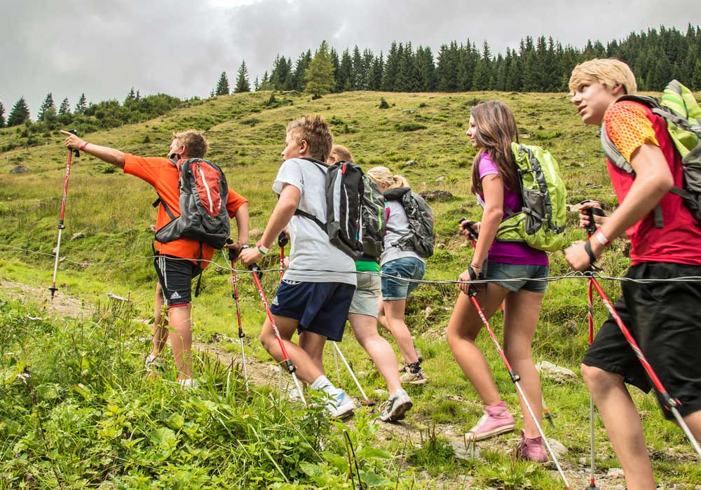
Running & Nordic Walking
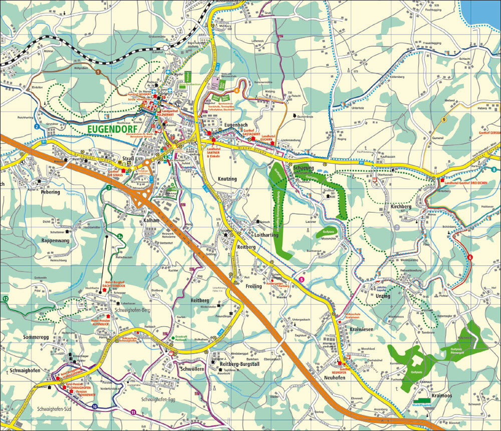
Suitable for beginners and experts can be found in Eugendorf 12 marked running and Nordic walkings trails through forest and meadow, always with the magnificent scenery of the Alpine foothills. From the overview map you seen the various running routes, from among different. The original plan of running routes are offered for free at the reception!
| No & distance |
Surface | Route informations |
|---|---|---|
| 1 4,8 km |
Asphalt, gravel, forest floor | From the center of Eugendorf at the kindergarten (Schmalzkoch) to Hochkreuz, Einleiten and Höllgraben and back. |
| 2 4,6 km |
Asphalt | From the center of Eugendorf to Schmalzkoch (kindergarten), then Dürnbichlstraße, Ischlerbahn route and Grunder and Hochkreuz and back. |
| 3 4,3 km |
Asphalt | From the center of Eugendorf to Schmalzkoch (kindergarten), then on the Church Street to Auerbach, Wangerweg, Commercial Street, Kalhamerstraße, Strasbourg and Dürnbichlstraße. Description 3a: This leads after round 3 via the Burgweg and Reiterhausen to Dachsteinblick. |
| 4 3,5 km |
Asphalt, forest floor | From the center of Eugendorf through Schmalzkoch, Dorf, Feldgasse and sports center. Next on the Hammermühlstraße, Watzingstraße, Alte Wiener Straße and the Santnerweg and back. |
| 5 10,1 km |
Asphalt | Schmalzkoch (kindergarten), Dorf, Kraihammerstraße, Feldgasse, Santnerweg, Alte Wiener Straße, Schamingstraße, Unzingstraße, Wake- & bike trail at the Thalgau Landesstraße, Auerbach, Wangerweg, Wiener Straße, Kraihammerstraße, Dorf and back. |
| 6 5,4 km |
Asphalt, forest floor | From Kirchberg through Hinterberg, Schönbergstraße, Holzmeisterstraße, Rehwaldstraße, Unzingstraße, Kirchbergstraße. |
| 7 4,3 km |
Asphalt | Also from Kirchberg through the Gasthof Drei Eichen, Kirschbergstraße further to Hierau, Unzingerstraße, Oberhausenstraße, Oberhausen and back to Kirchberg. |
| 8 3,5 km |
Asphalt, fields | From Kirchberg to the Gasthof Drei Eichen to Harting, Ellenhub, Schönbergstraße, Kirchbergstraße, Hinterberg and back to Kirchberg. |
| 9 6 km |
Asphalt, Feldweg, forest floor | From Kirchberg to the Gasthof Drei Eichen, Wiener Straße, Gumersil, Weiland, Haberg, Gasthof Gersbachwirt. Further towards Gut Altentann, Ellenhub, Schönbergstraße and Hinterberg. |
| 10 3,2 km |
Asphalt | From Schwaighofen to the Berggasthof Schwaighofwirt, Höllererweg, Sommeregg, Forstabweg, Sonnleitenstraße. |
| 11 7,2 km |
Asphalt | From Schwaighofen passing Schwighofenwirt, Höllererweg, Sommeregg, Forstabweg, Eggerstraße, Schwöllernstraße, Plainfeldstraße, Lacknerwinkel, Sonnleitenstraße. |
| 12 4,5 km |
forest trail | Easy walking start and finishes at Daxlueg, may also be used for running and Nordic walking. |
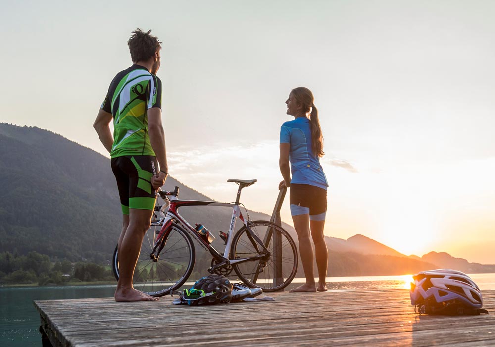
Cycling in Salzburg
The well-developed network of cycle paths in the Salzburg Alpine foreland and the Salzkammergut offers them the opportunity of 1000 km of marked bike paths create your own route. Eugendorf is an ideal starting point for cycling in the Salzburg Alpine foreland and the Salzkammergut. From beginner to advanced: You will definitely find the right tour. Here is a selection of especially beautiful tours …
| Cycling tour | Difficulty | Length | Altitude |
|---|---|---|---|
| Um den Eugendorfer Berg | medium | 27 km | 350 m |
| Wallerseerundweg | easy | 18 km | 110 m |
| Große Wallerseerunde | ambitious | 52 km | 600 m |
| Über den Heuberg | medium | 25 km | 470 m |
| Rund um Salzburg | easy | 40 km | 60 m |
| Große Gaisbergrunde | medium | 55 km | 700 m |
| Mozart Radweg | medium | total 410 km | 1400 m |
| Salzkammergut Radweg | medium | total 360 km | 1850 m |